Monitor change across the whole site.
Nexus combines field sensors, drone survey, satellite imagery, geospatial records, and operational data to track conditions that are difficult to monitor from one location.
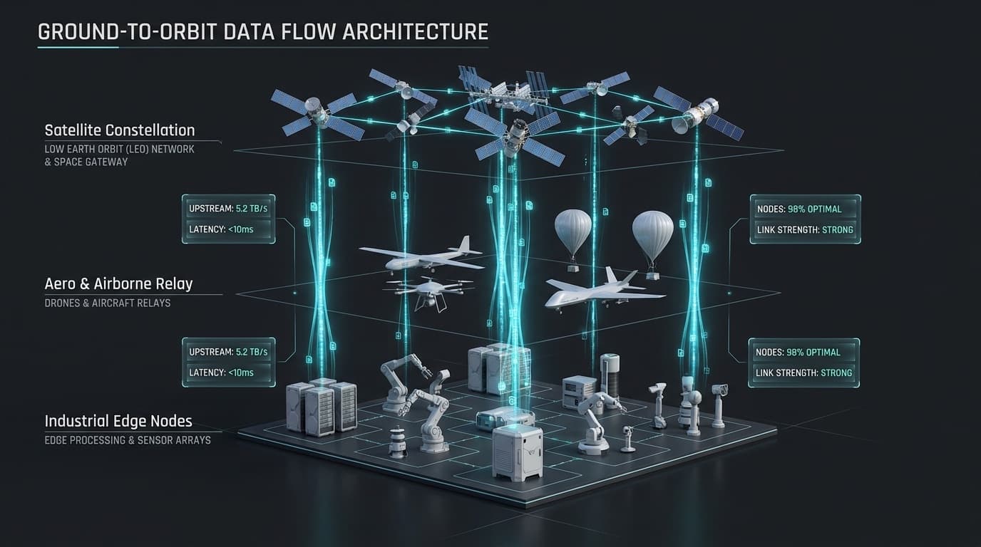
Large areas change between inspections.
01
Slopes and ground conditions can change gradually.
02
Stockpile and earthwork estimates become outdated.
03
Water, vegetation, dust, and rehabilitation conditions are difficult to inspect consistently.
04
Manual field surveys may be slow, expensive, or hazardous.
05
Different surveys are difficult to compare when they are not stored in one historical model.
What Nexus uses
Data sources
- Environmental sensors
- Survey control
- Drone imagery
- Orthomosaics
- Digital elevation models
- Point clouds
- Optical satellite imagery
- SAR and InSAR
- Multispectral data
- Historical maps and records
- Field observations
What it provides
- Change detection
- Ground-deformation monitoring
- Stockpile and earthwork measurements
- Site-progress mapping
- Water and vegetation monitoring
- Rehabilitation tracking
- Dust and surface-condition indicators
- Historical comparison
- Map-based reports
- Integration with operational data
Where it is used.
- Slope and subsidence monitoring
- Stockpile volumetrics
- Earthworks progress
- Tailings and waste-area observation
- Land-use change
- Rehabilitation evidence
- Water monitoring
- Corridor and remote-asset inspection
- Site-wide geospatial reporting
Define the area and the change you need to measure.
Bring one site, corridor, stockpile, slope, or environmental question and we will define the most suitable sensing approach.