Connect the mine from pit to plant.
Nexus brings together safety, equipment, fleet, production, processing, survey, environmental, contractor, and management information through one operational intelligence platform.
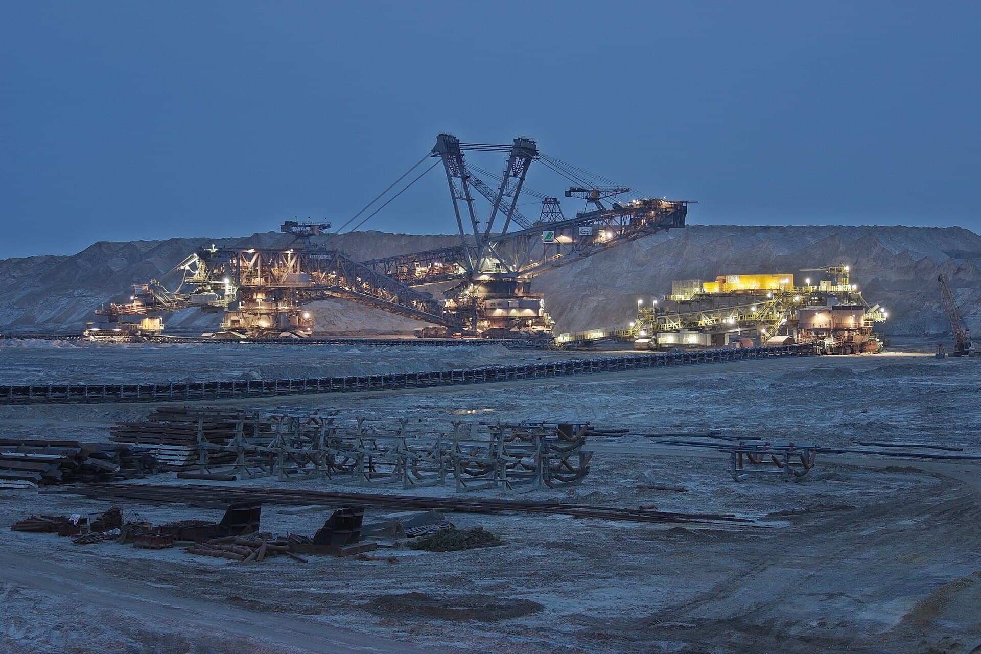
Mines run many systems, but decisions still depend on fragmented information.
A mine may have cameras, fleet software, SCADA, survey tools, GPS, maintenance systems, laboratory records, and spreadsheets. The operational problem is not the absence of technology. It is the lack of connection between systems, teams, and decisions.
Common operational gaps
- Safety events are reviewed after the fact.
- Fleet and production data do not match shift reports.
- Equipment condition is separated from maintenance history.
- SCADA data remains isolated inside the control system.
- Weighbridge, contractor, and production records are difficult to reconcile.
- Survey and environmental data are updated periodically, not continuously.
- Management receives information after the opportunity to act has passed.
One platform across every mine function.
Mining solutions
Safety & HSE
- PPE monitoring
- Exclusion zones
- Human-equipment proximity
- Fire, spills, and leaks
- Site access and intrusion
- Incident records
- Training and compliance trends
Fleet & Dispatch
- Equipment location
- Cycle time
- Queue and idle detection
- Route monitoring
- Dispatch support
- Utilization
- Fuel variance
- Shift performance
Production & Material Flow
- Loading and dumping events
- Material-routing verification
- Production by shift
- Stockpile tracking
- Weighbridge integration
- Contractor activity
- Production reconciliation
- Plant feed visibility
Asset & Maintenance
- Equipment condition
- Telemetry and sensor trends
- Conveyor monitoring
- Crusher blockage
- Pump and utility status
- Drill activity
- Bucket and tooth condition
- Evidence-linked maintenance workflows
Processing Plant
- SCADA and PLC integration
- Equipment and process alarms
- Conveyor and crusher monitoring
- Material-flow visibility
- Mass-balance support
- Quality and laboratory integration
- Historian data
- Production reporting
Survey & Spatial
- Drone survey
- Stockpile volumetrics
- Pit and dump change
- Earthworks
- Ground movement
- Satellite monitoring
- Map layers
- Historical comparison
Environment
- Water
- Dust
- Land disturbance
- Rehabilitation
- Tailings observation
- Environmental sensors
- Satellite and drone evidence
- Compliance reporting
Command & Reporting
- Site overview
- Alerts
- Shift handover
- Daily reporting
- Management dashboards
- KPI trends
- Contractor records
- Cross-site reporting
Start where the operational loss or risk is clearest.
Deployment approach
Define
Select one measurable problem, operating area, and responsible team.
Connect
Use the cameras, sensors, systems, and records already available.
Deploy
Configure the model, dashboard, alert, workflow, and user roles.
Validate
Test the result against field reality and operator feedback.
Expand
Add new mine functions on the same platform.
Start with one mine problem.
Tell us where information is late, unreliable, or disconnected. We will map a phased solution around your current operation.