Отслеживайте изменения по всей площадке.
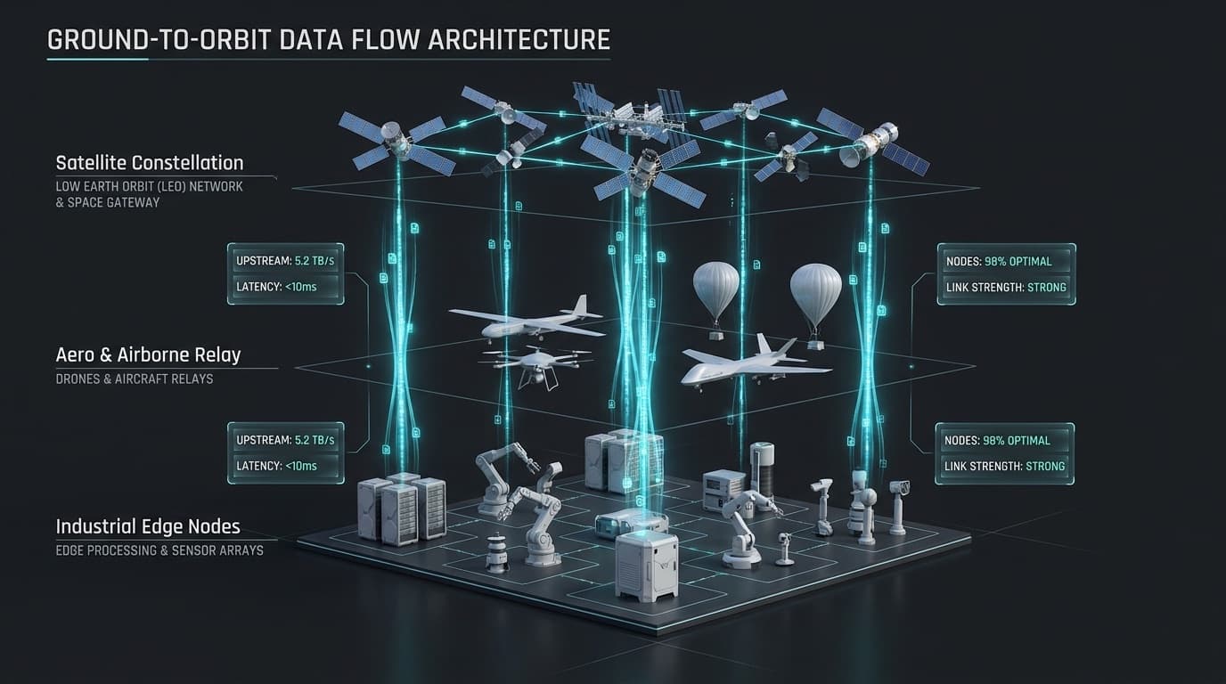
Nexus объединяет полевые датчики, съёмку с дронов, спутниковые снимки, геопространственные материалы и производственные данные, чтобы отслеживать условия, которые трудно контролировать из одной точки.
Большие площади меняются между обследованиями.
01
Состояние бортов и грунта может меняться постепенно.
02
Оценки объёмов штабелей и земляных работ быстро устаревают.
03
Состояние воды, растительности, запылённости и рекультивации трудно контролировать регулярно.
04
Полевая съёмка вручную может быть медленной, дорогой или опасной.
05
Разные съёмки трудно сравнивать, если они не хранятся в одной исторической модели.
Что использует Nexus
Источники данных
- Экологические датчики
- Геодезическая опорная сеть
- Снимки с дронов
- Ортофотопланы
- Цифровые модели рельефа
- Облака точек
- Оптические спутниковые снимки
- SAR и InSAR
- Мультиспектральные данные
- Архивные карты и материалы
- Полевые наблюдения
Что она даёт
- Обнаружение изменений
- Мониторинг деформаций грунта
- Замеры объёмов штабелей и земляных работ
- Картирование хода работ на площадке
- Мониторинг воды и растительности
- Контроль рекультивации
- Показатели запылённости и состояния поверхности
- Сравнение с историей
- Отчёты на основе карт
- Связь с производственными данными
Где это применяется.
- Мониторинг устойчивости бортов и оседаний
- Расчёт объёмов штабелей
- Ход земляных работ
- Наблюдение за хвостохранилищами и отвалами
- Изменение землепользования
- Подтверждение рекультивации
- Мониторинг воды
- Обследование коридоров и удалённых объектов
- Геопространственная отчётность по всей площадке
Определите территорию и изменение, которое нужно измерять.
Возьмите одну площадку, коридор, штабель, борт или экологический вопрос, и мы подберём наиболее подходящий способ наблюдения.