Зөвхөн хээрийн үзлэгээс хамаарахгүйгээр том талбайг хянана.
Nexus нь хиймэл дагуул, дрон, мэдрэгч, цаг агаар, хээрийн өгөгдлийг нэгтгэж, газар ба байгаль орчны нөхцлийг цаг хугацааны туршид ажиглана.
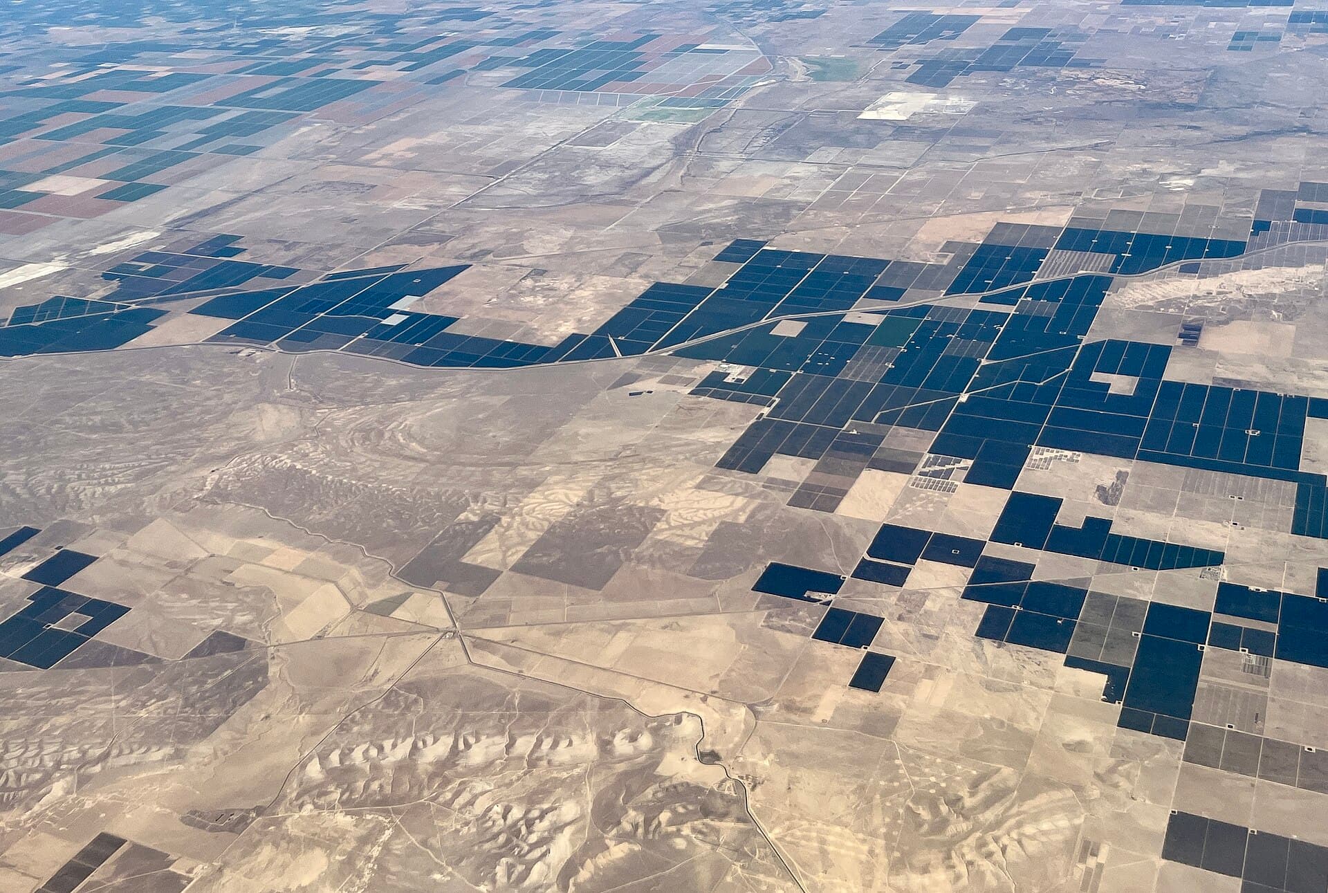
Явган үзэхэд газар хэтэрхий их.
01
Том талбайг явган хангалттай давтамжтай шалгах боломжгүй.
02
Ургацын стресс, усны асуудал, элэгдэл эсвэл зөрчил мэдээлэгдэхээс өмнө тархаж болно.
03
Түүхэн нотолгоо газрын зураг, хэмжилт, баримт бичигт тархсан байдаг.
Хамааралтай шийдлүүд
Хамааралтай чадвар
- Ургацын нөхцлийн хяналт
- Ус ба усалгаа
- Газар ашиглалтын өөрчлөлт
- Нөхөн сэргээлт
- Элэгдэл ба тоос
- Байгаль орчны мэдрэгч
- Хиймэл дагуулын өөрчлөлт илрүүлэлт
- Дроны хэмжилт
- Цагийн тэмдэгтэй тайлагнал
- Менежментийн бүс
Хянах шаардлагатай талбай ба нөхцлөө тодорхойлно уу.
Бид хээрийн, агаарын эсвэл хиймэл дагуулын тохирох өгөгдлийн эх сурвалжийг сонгоно.